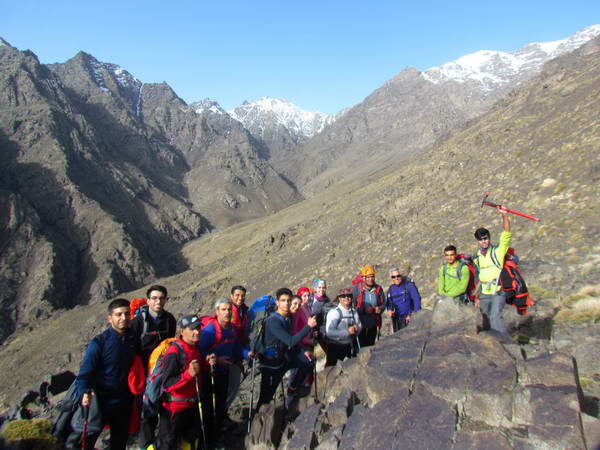
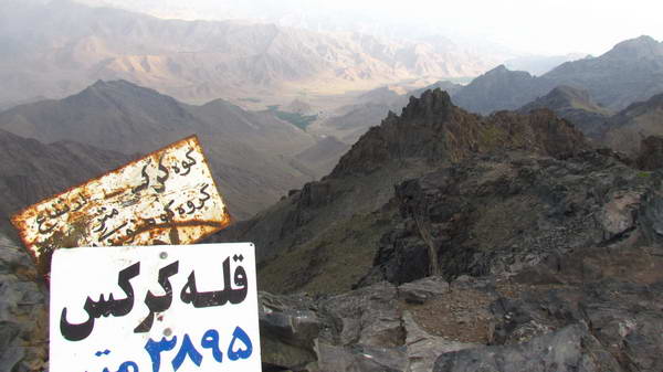
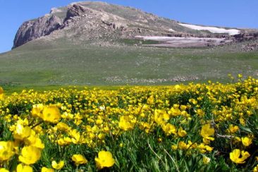
Karkas Mountain peak with a height of about 3900 meters above sea level is located next to the town of Natanz and on the western edge of Badrud deserts in Isfahan province.
Karkas peak is located in a large mountain range that covers a wide area between Meimeh and Natanz and has continued from the northwest to Abyaneh and Qamsar, Kashan.
Karkas Mountain has two peaks in the vicinity, one is called Karkas and the other is Shahin. Climbers usually climb the peak of the Karkas.
Karkas Mountain has several ascent routes, the southern route that passes through Kesheh village is the simplest and most general route to climb this mountain. The northern route starts from Ooreh village near Natanz and the eastern route starts from Tameh village in the southwest of Natanz.
The western route to climb the Karkas is from Bid Hend village, which is less used due to the long route and the unavailability of Bid Hend village.
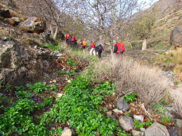
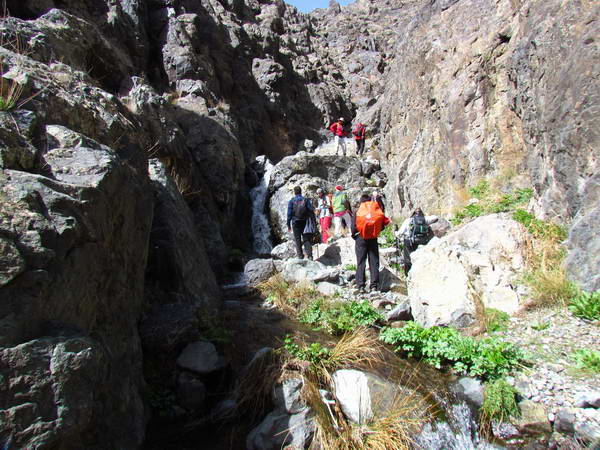
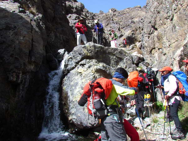
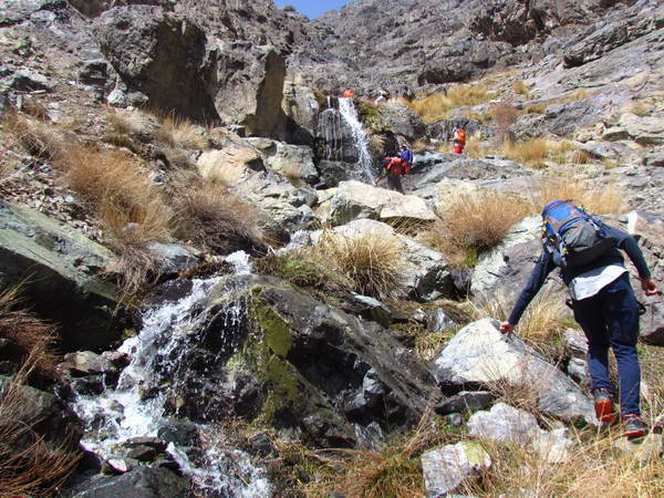
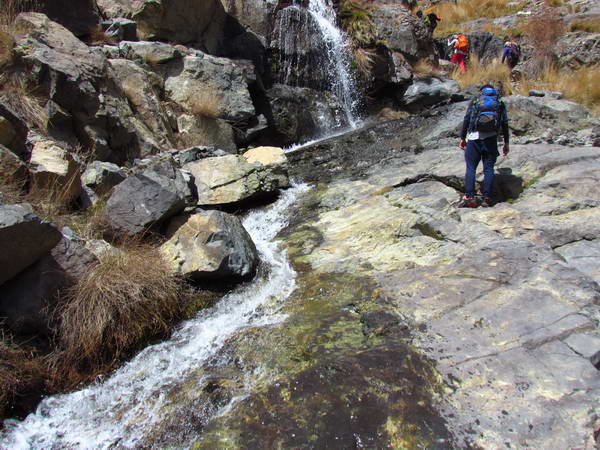
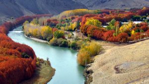
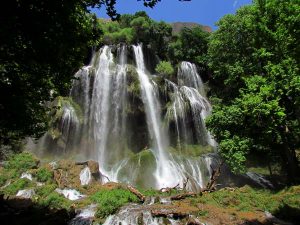
Although the Ooreh and Tameh routes to climb the Karkas are long and relatively technical, but they have beautiful scenery with water and waterfalls along the way.
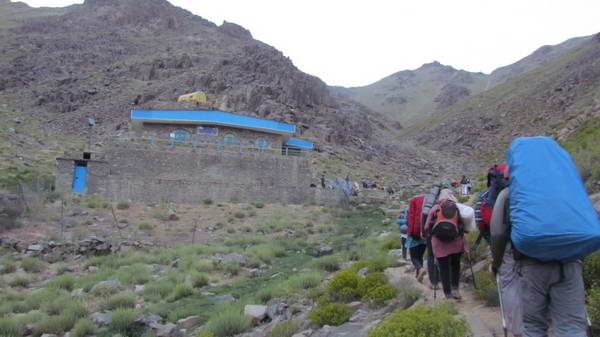
The only refuge in climbing to Karkas peak is located on the southern ascent route (Kesheh route) at an altitude of 3100 meters above sea level.
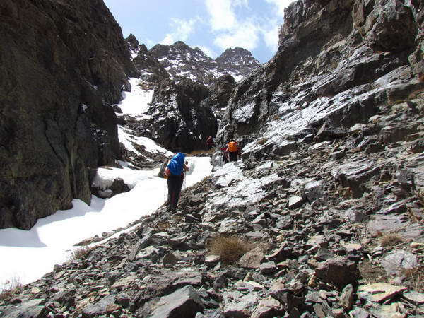
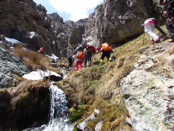
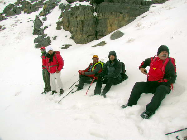
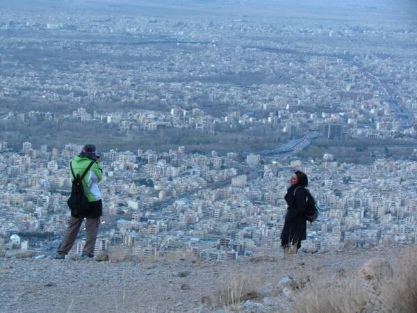
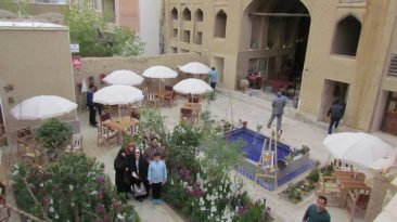
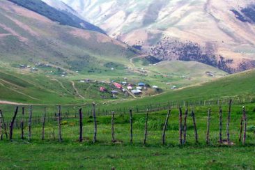
Here I bring some pictures of a Karkas climbing from the eastern front, from Tameh. Tameh is a village located 7 km southwest of Natanz town and on the eastern slope of Karkas mountain.
Google Map of Karkas Mountain peak
