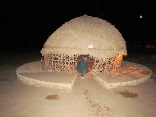

Shahdad desert of Kerman, consisting of Kaluts, Shoor river and Gandom Beryan region
Shahdad desert is an area on the western edge of Lut desert, which is called Shahdad desert due to its proximity to Shahdad town. The most significant attraction of Shahdad desert is the kaluts.
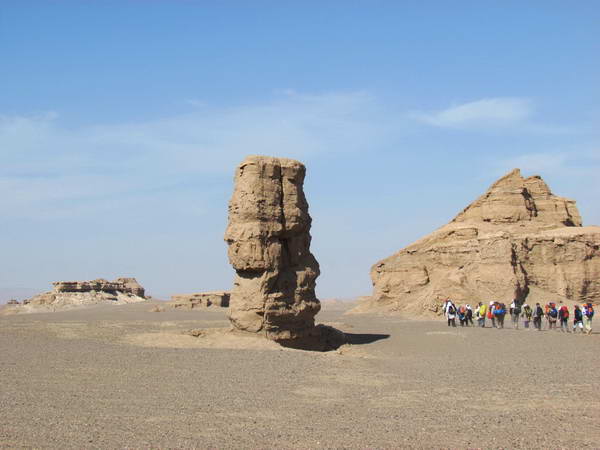
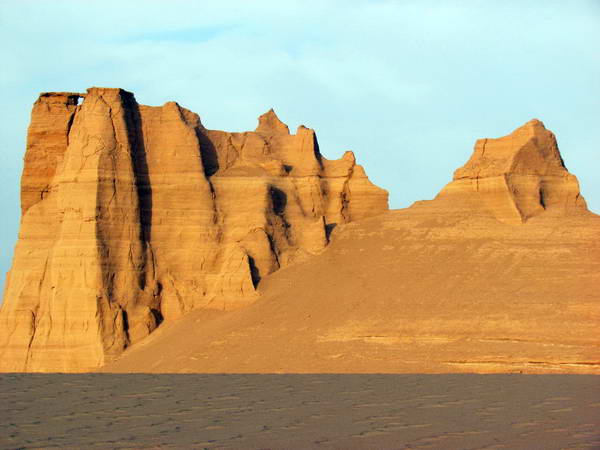
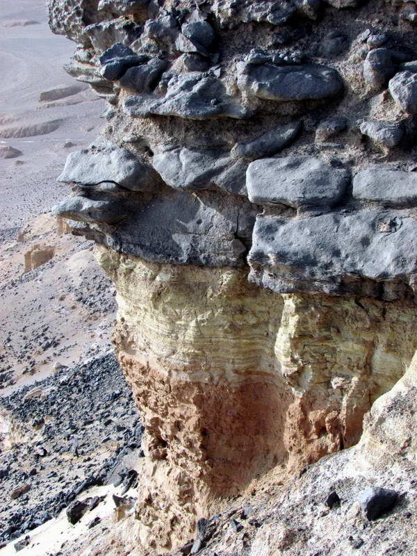
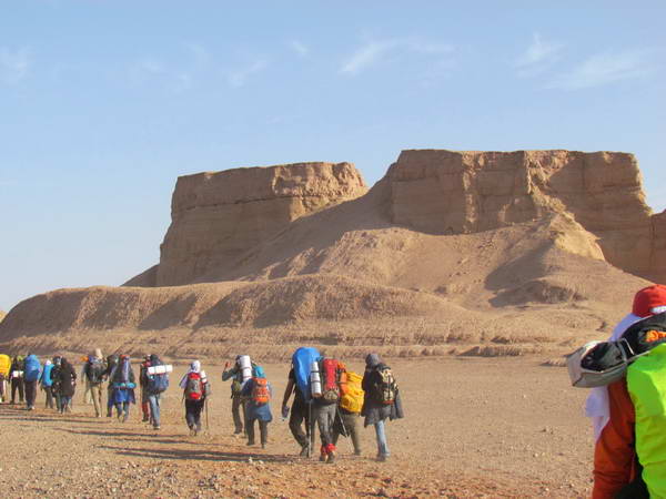
Kaluts are hill-like ridges but with various and strange shapes that are located in flat ground around them and have created a view like the buildings of a city in the heart of the desert.
In the northern part of the Kaluts region, we come to the Kalutaks, which are short and beautiful Kaluts that are individually and regularly located in the north-south direction, and in the aerial map of the region, they look like soldiers of an army are standing in regular rows for the parade.
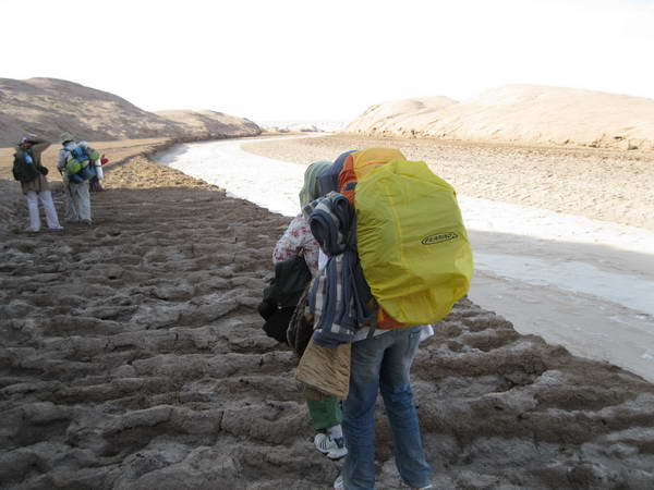
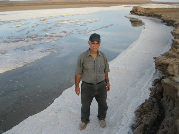
Rud-e Shoor (Shoor river or Kal Shoor) is another natural attraction of Shahdad desert. The areas around the Shoor river have beautiful geological features such as egg hills, alluvial features and beautiful Salt deposits on the banks of this shallow desert river.
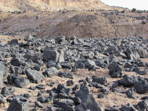
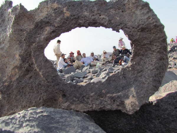
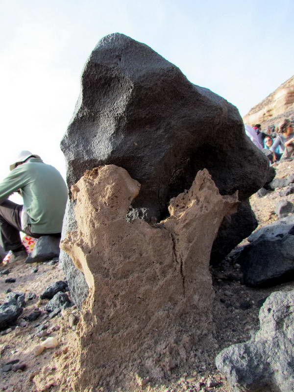
In the northern part of the Shoor River, we reach a large and high area called Gandom Beryan, which is a large and flat area covered with volcanic black rocks with various shapes. Gandom Beryan is one of the warmest regions of the world and it is amazing that the cold and snowy mountainous areas of Kerman province are not far from this region.
Shoor River and Gandom Beryan area are located in the northern part of Shahdad city and to reach them, you have to turn left from 40 km of Shahdad to Nehbandan road and walk 35 km to Shoor river and Gandom Beryan area from the heart of desert lands.
Google map link of Shahdad town