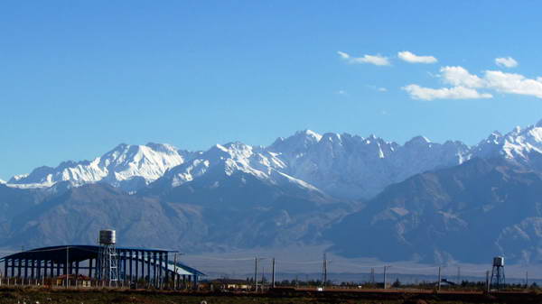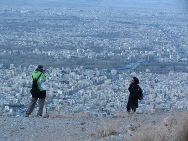

The 4,500-meter peak of Hazar (Hezar) is the fourth highest peak in the country and is located about 100 kilometers south of Kerman city.
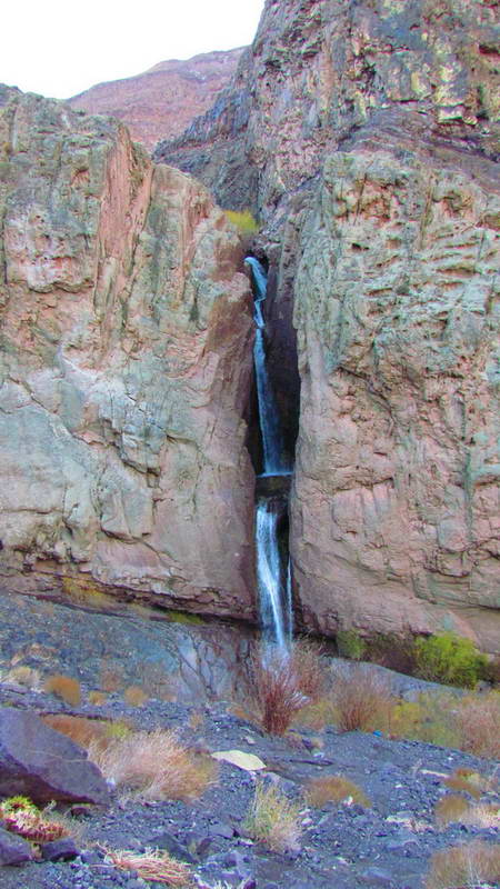
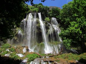
To reach this mountain, you have to come to the town of Rayen from Kerman and then reach the Rayen waterfall on the northern slope of Hazar Mountain.
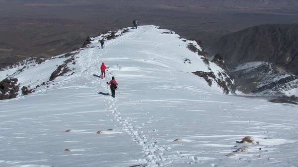
Rayen waterfall is located at an altitude of about 2800 meters above sea level. The net height of the climb from the Rayen waterfall to the summit of Hazar is about 1700 meters, which is usually traversed in two days. The height of Mount Hezar Shelter is 3200 meters above sea level.
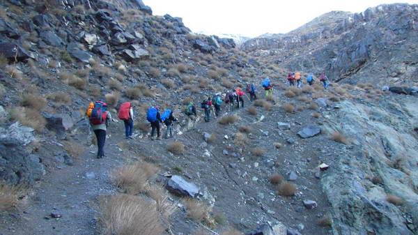
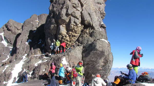
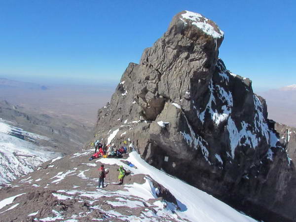
In climbing Hazar, at an altitude of 3850 meters, we reach a large rocky cliff, which is called Taj Khorus (tumbleweed).
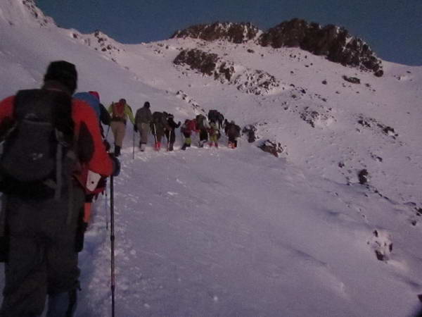
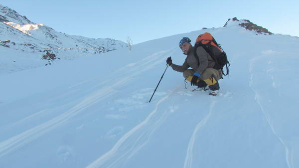
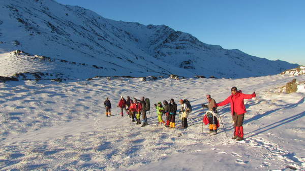
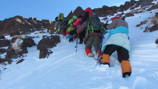
On November 13th, we climbed Mount Hezar through the northern front. At this time of year, the heights above the refuge to the summit of Hazar were covered with snow.
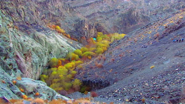
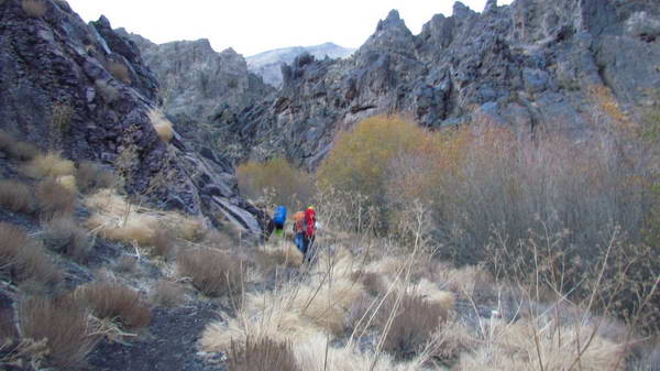
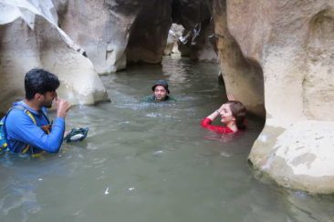
Apart from the Rayen waterfall, there are some streams on the slopes of Mount Hezar just before reaching the refuge. The slopes of Hezar Mountain have a lot of edible and medicinal plants in spring and summer, and probably for this reason, this mountain is called “Hezar”(Thousand), which means, allegorically, it has a thousand different plants.